
Surveying with purpose. Delivering for tomorrow.
We solve complex geodetic tasks with precision, dedication, and a clear focus — delivering fast, reliable results and laying strong foundations for your future projects.
Services
Testimonials
Happy clients are at the heart of what we do.

“Terren stands out for its unparalleled expertise and excellence. From the first meeting to the final delivery, the team demonstrated a high level of professionalism. Detailed reports and clear communication throughout the process facilitated understanding and decision-making. The project was completed on time and within the agreed budget.”
Lawyer and mediator Ruđer Anić, partner at the law firm Anić and partners

“As an architectural firm, we have been working with Lemax/Terren for many years regarding geodetic services and have only had positive experiences. Very accommodating and cooperative, fast and efficient.”
Certified Architectural Engineer Ivan Kapov, Director of the architectural bureau Kapov doo

"We decided to cooperate with the Terren surveying office because of their exceptional professionalism and ease of communication, and their quick and concrete response has been proven through years of cooperation on numerous projects."
Krešimir Vučko, director of Duotempus d.o.o., private investor
“The entire team deserves every compliment for the work done related to the cadastral plots and the floor plans that I needed after my parents died. Everything was in complete disarray, but they managed to resolve all the problems and help with the legal aspects.”
Željka Čorhodžić
“My many years of experience working with Terren have been very positive. Very professional approach. They guided me throughout the entire process and communicated regularly until the work was completed. I recommend Terren to anyone who wants precise and reliable results.”
Višnjica Malović
“Two years ago we bought a family house in Slunj with land. We needed surveying services, and on the recommendation of the old owners we came to Terreno. We are more than satisfied with their work. Fast, high-quality and very friendly service.”
Predrag Ugarković

"We regularly cooperate with the Terren surveying team and we are very satisfied! Everything is always done professionally, precisely and in a very short time. High level of professionalism and a warm recommendation to anyone who needs reliable services."
Jelena Kravoščanec Todorović, direktorica Opereta nekretnine

"Working with Terren was an excellent experience. Their expertise, precision, and speed in solving all geodetic tasks far exceeded my expectations. As an investor, it was important to me to have a reliable partner who understands all the steps in the process."
Marija Penić-Ivanko, direktorica tvrtke "Mare", privatna investitorica iz Krašića
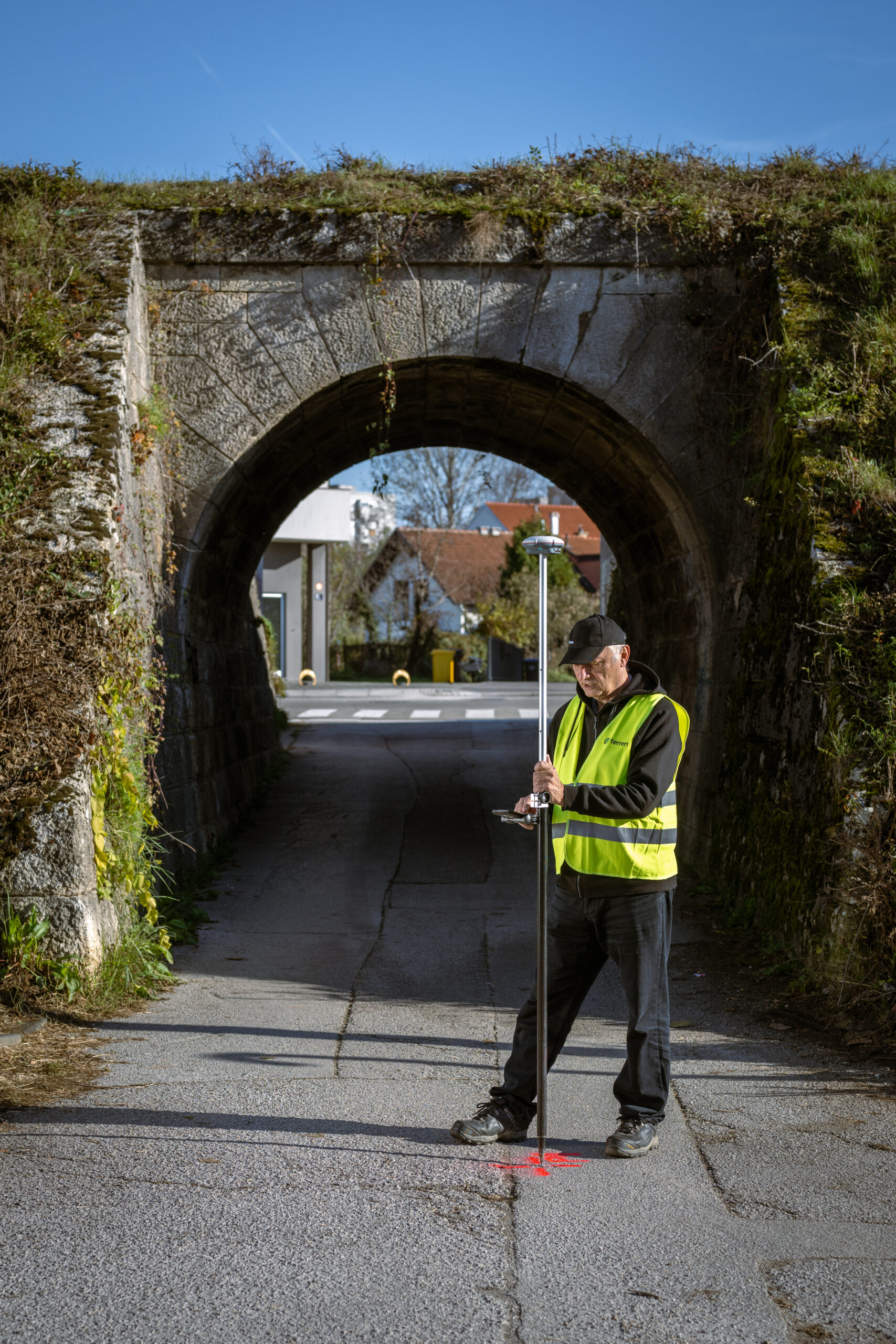
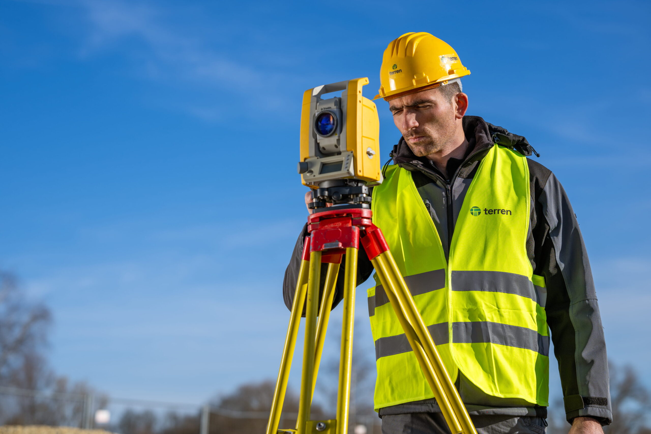
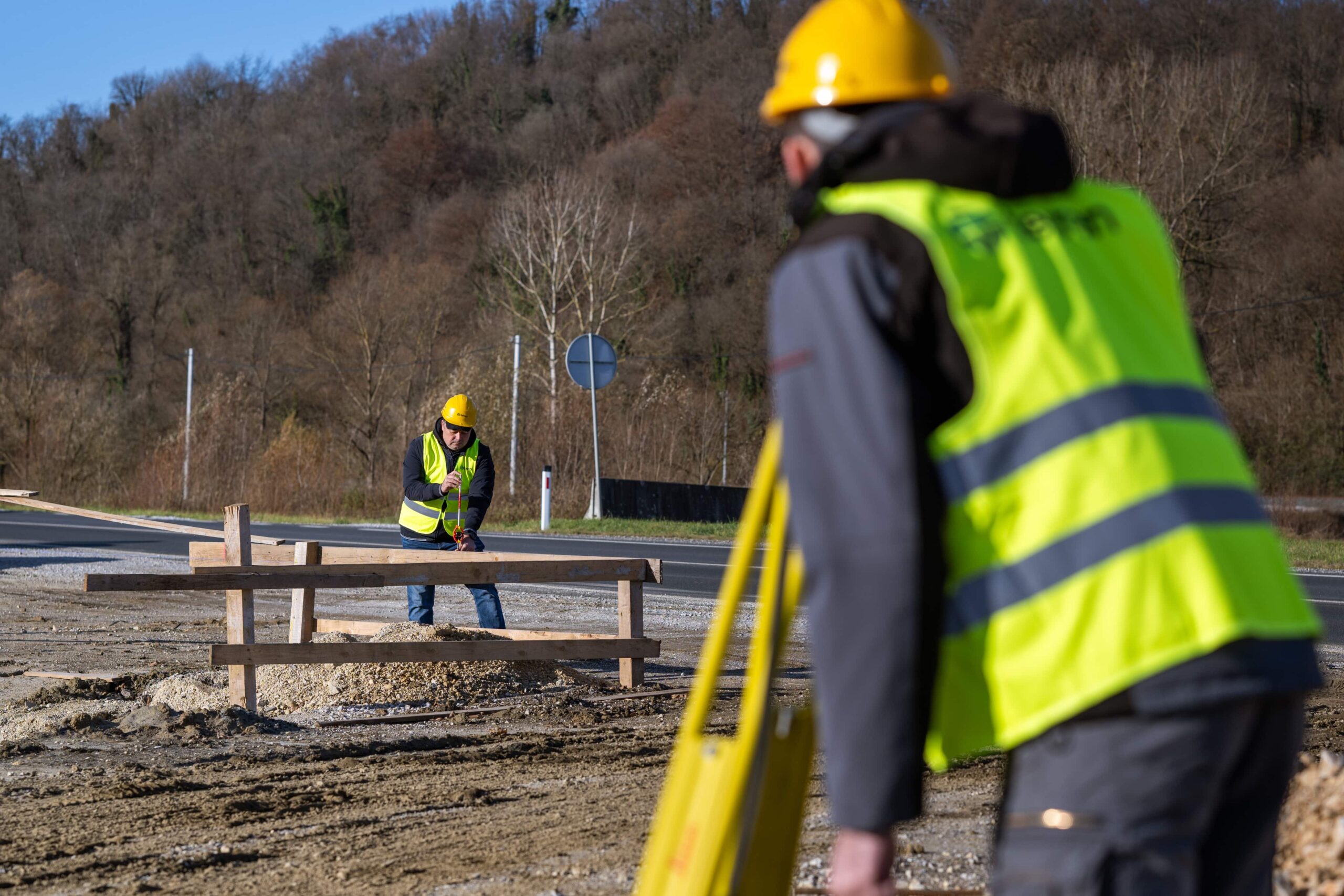
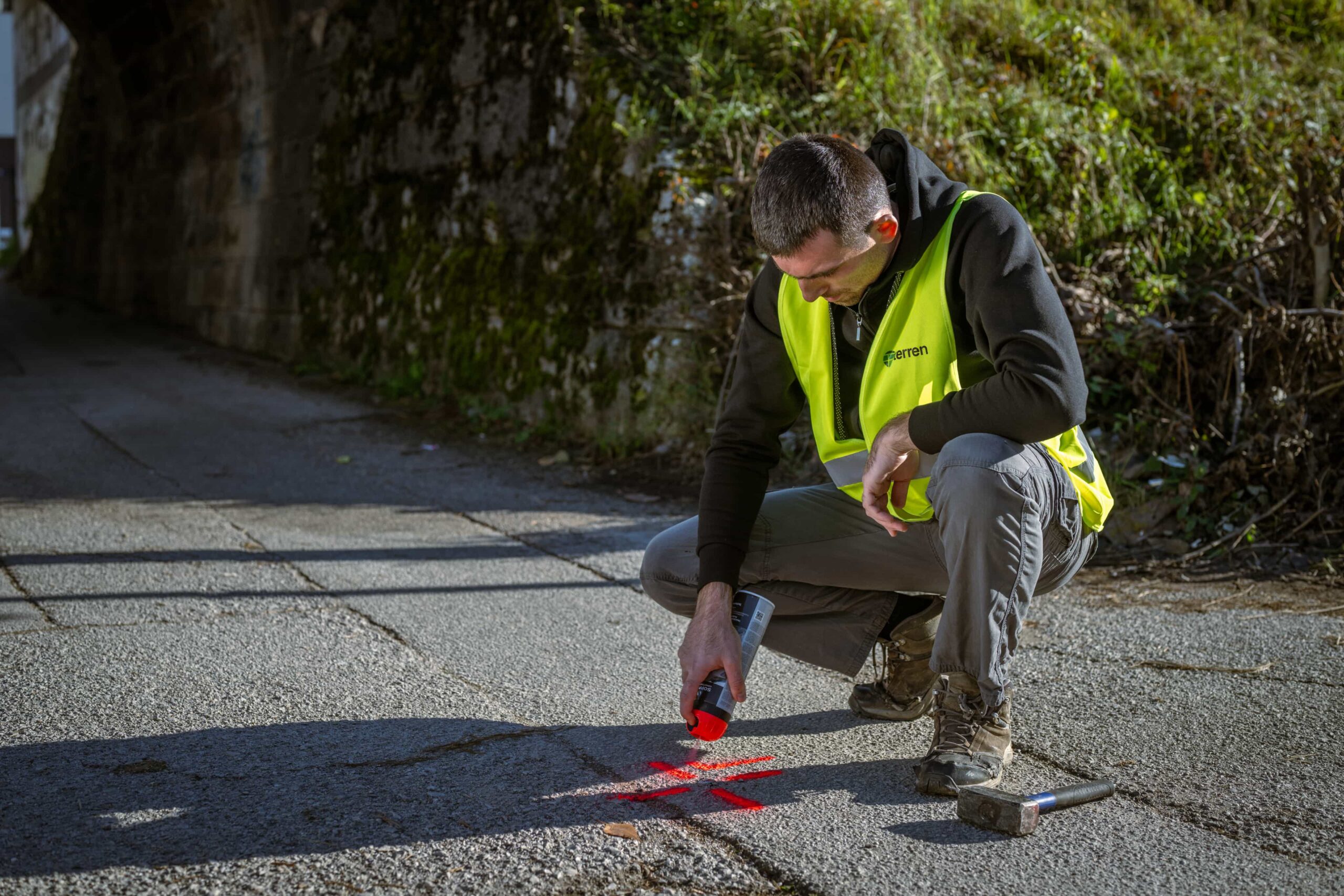
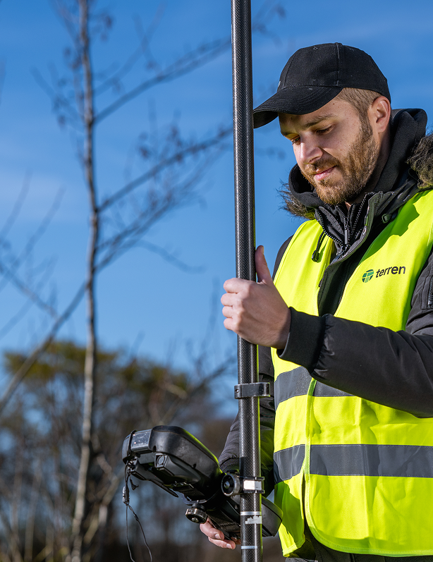
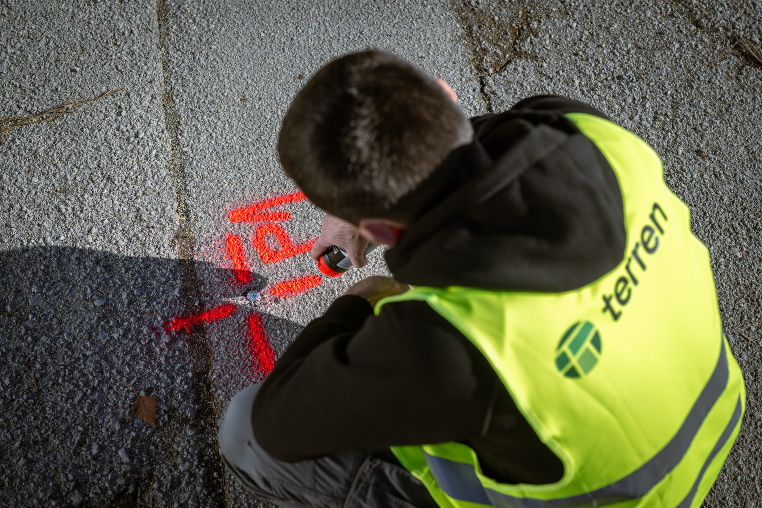
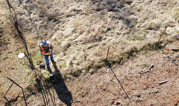
We feel at home on every field.
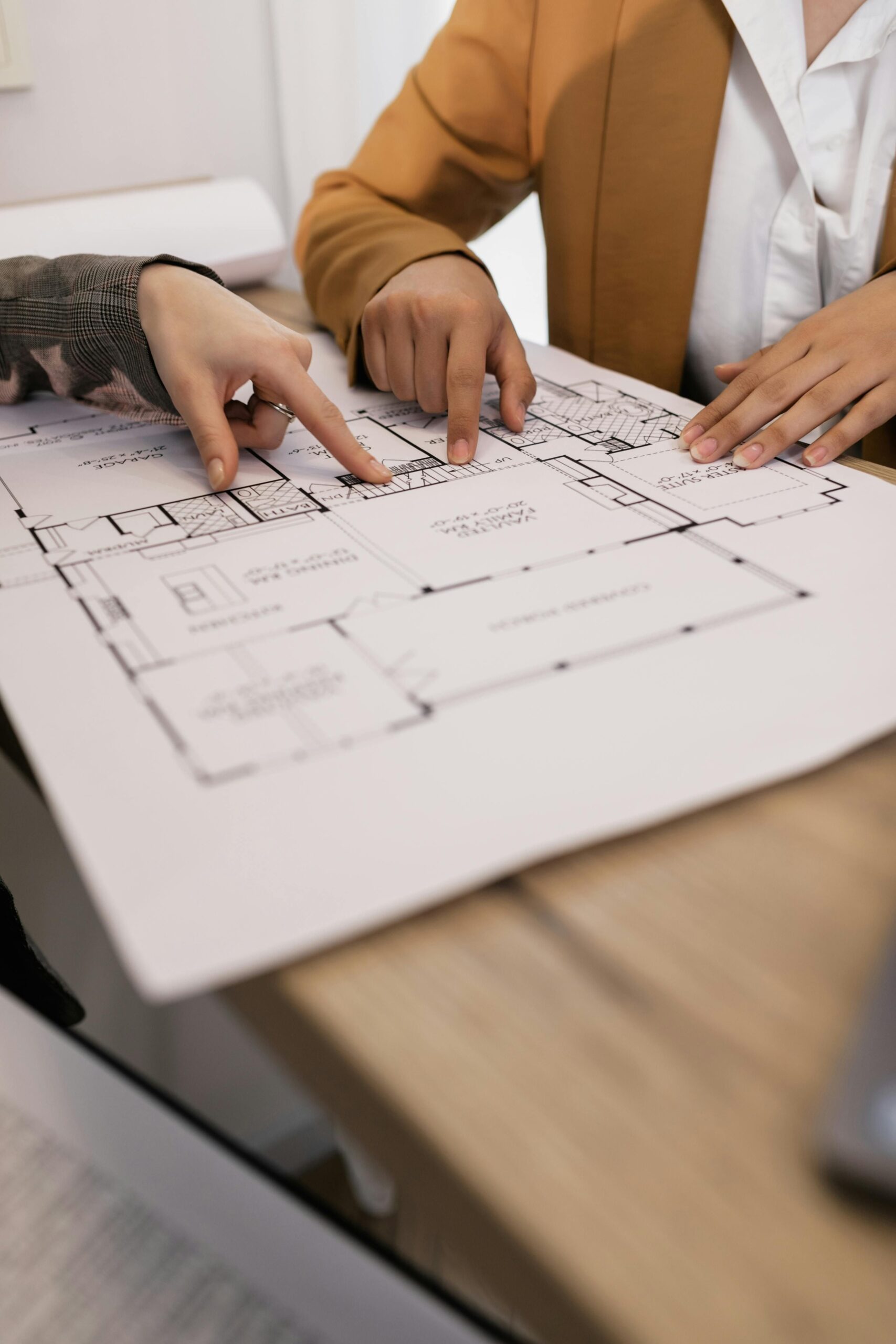
We measure your assets with precision and care.
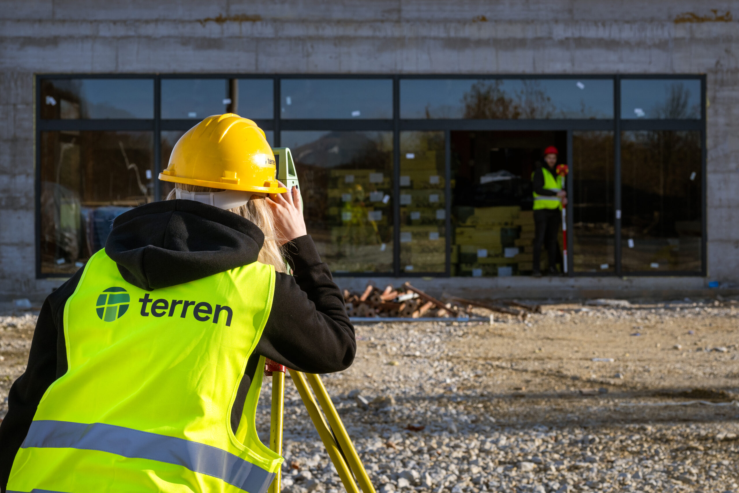
Our strength lies in a team of experienced, certified geodetic engineers with over 20 years of expertise across diverse projects throughout Croatia.
References
We are experts across all terrains.
FAQ
How much does a geodetic study cost?
The price is defined depending on the purpose, location, size of the plot, compliance with the cadastre and land registry, etc.
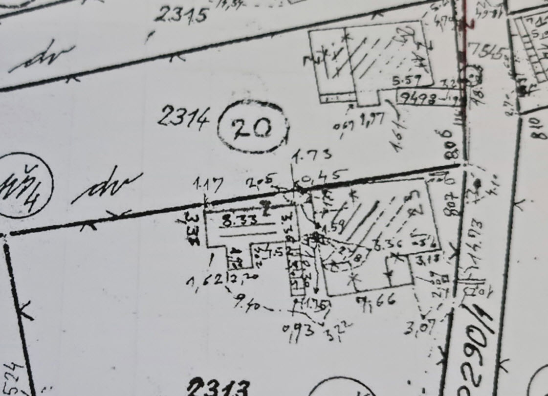
When planning to request the services of a surveyor, the basic information you need to prepare is the cadastral plot number and the name of the cadastral municipality or the address of the building (if there is a building on the plot). Based on the information about the plot and the purpose of the study, the surveyor will be able to tell you what purpose the study you need is for and what the price of the service will be.
What documents are needed to create a geodetic study?
Is my facility legal?
If a property is registered in the cadastre and land registry, this does not mean that it is legal.
I legalized the property, is it registered in the cadastre and land registry?
Can I list a house without permission?
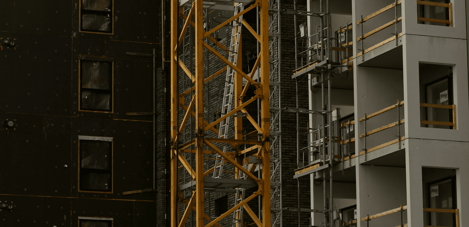
Why is geodetic monitoring of construction sites important?
Also, properly conducted geodetic monitoring is often a necessary condition for a successful technical inspection and obtaining a use permit.
Geodetic monitoring of construction sites brings us:
1. Construction quality and safety – Detects errors before they become a serious problem.
2. Project compliance – Reduces the risk of additional costs due to corrections.
3. It is a legal obligation – In many projects it is prescribed by laws and standards.
4. Monitoring the dynamics of work execution – Helps in the organization and optimization of the construction site.
5. Documentation for technical inspection – Required for use permit.
Why are surveying services crucial for construction projects?
What surveying services are required before construction begins?
– Geodetic survey of the actual condition,
– Geodetic elaboration of subdivision (if new parcels are formed),
– Harmonization of cadastral and land registry status,
– Creation of geodetic base for design.
What are the most common challenges for surveyors on construction projects?
– Inconsistent cadastral and land registry data,
– Short deadlines for delivery of geodetic studies,
– The need to coordinate works with designers, investors and supervising engineers,
– Monitoring changes on the ground during construction.
Important links
01
Croatian Chamber of Certified Geodetic Engineers
Multi-year cadastral survey program
Spatial Planning Information System
Geoportal of the State Geodetic Administration
Faculty of Geodesy, University of Zagreb
Faculty of Civil Engineering, Architecture and Geodesy, University of Split
Faculty of Civil Engineering, University of Rijeka
Faculty of Civil Engineering and Architecture, University of Osijek

Find out more