We measure thoroughly and accurately
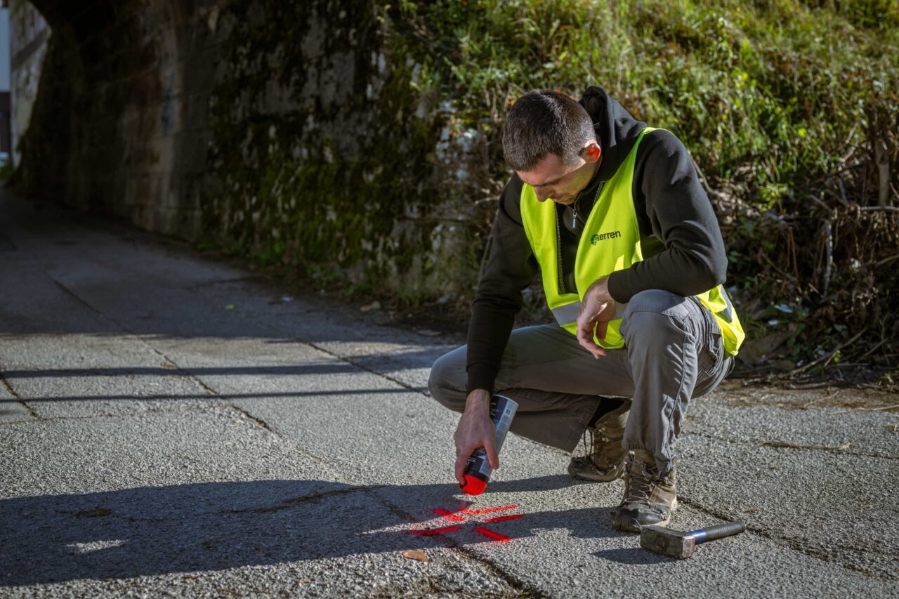
Geodetic survey (land survey)
A geodetic survey is a graphic representation of the actual situation on the ground, the position and shape of objects and their mutual relationship. The geodetic image shows buildings (objects), fences, boundary markers (boundary stone, wedge, etc.), cultural boundaries, etc.

A geodetic survey, depending on its purpose, can also have a height configuration of the terrain, which is displayed with height elevations and layers. Elevation elevations are terrain points with an associated elevation. Lines are lines that connect places of the same height.
It serves as a credible basis for various purposes, including:
- design of construction facilities,
- obtaining a building permit,
- legalization of existing buildings,
- recording changes in the cadastre,
- resolving property and legal relations.
Testimonials
Customer satisfaction is our top priority.

“Terren stands out for its unparalleled expertise and excellence. From the first meeting to the final delivery, the team demonstrated a high level of professionalism. Detailed reports and clear communication throughout the process facilitated understanding and decision-making. The project was completed on time and within the agreed budget.”
Lawyer and mediator Ruđer Anić, partner at the law firm Anić and partners

“As an architectural firm, we have been working with Lemax/Terren for many years regarding geodetic services and have only had positive experiences. Very accommodating and cooperative, fast and efficient.”
Certified Architectural Engineer Ivan Kapov, Director of the architectural bureau Kapov doo

"We decided to cooperate with the Terren surveying office because of their exceptional professionalism and ease of communication, and their quick and concrete response has been proven through years of cooperation on numerous projects."
Krešimir Vučko, director of Duotempus d.o.o., private investor
“The entire team deserves every compliment for the work done related to the cadastral plots and the floor plans that I needed after my parents died. Everything was in complete disarray, but they managed to resolve all the problems and help with the legal aspects.”
Željka Čorhodžić
“My many years of experience working with Terren have been very positive. Very professional approach. They guided me throughout the entire process and communicated regularly until the work was completed. I recommend Terren to anyone who wants precise and reliable results.”
Višnjica Malović
“Two years ago we bought a family house in Slunj with land. We needed surveying services, and on the recommendation of the old owners we came to Terreno. We are more than satisfied with their work. Fast, high-quality and very friendly service.”
Predrag Ugarković

"We regularly cooperate with the Terren surveying team and we are very satisfied! Everything is always done professionally, precisely and in a very short time. High level of professionalism and a warm recommendation to anyone who needs reliable services."
Jelena Kravoščanec Todorović, direktorica Opereta nekretnine

"Working with Terren was an excellent experience. Their expertise, precision, and speed in solving all geodetic tasks far exceeded my expectations. As an investor, it was important to me to have a reliable partner who understands all the steps in the process."
Marija Penić-Ivanko, direktorica tvrtke "Mare", privatna investitorica iz Krašića
Based on focused and dedicated work within set deadlines.

FAQ
How much does a geodetic survey cost?
The price is defined depending on the purpose, location, size of the plot, condition of the terrain, details that need to be recorded, etc.
When you plan to request the services of a surveyor and the creation of a geodetic survey, the basic information you must prepare is the number of the cadastral plot and the name of the cadastral municipality or the address of the object (if there is an object on the plot). Based on the data about the plot and the purpose of the geodetic survey, the surveyor will be able to tell you what the price of the service will be.