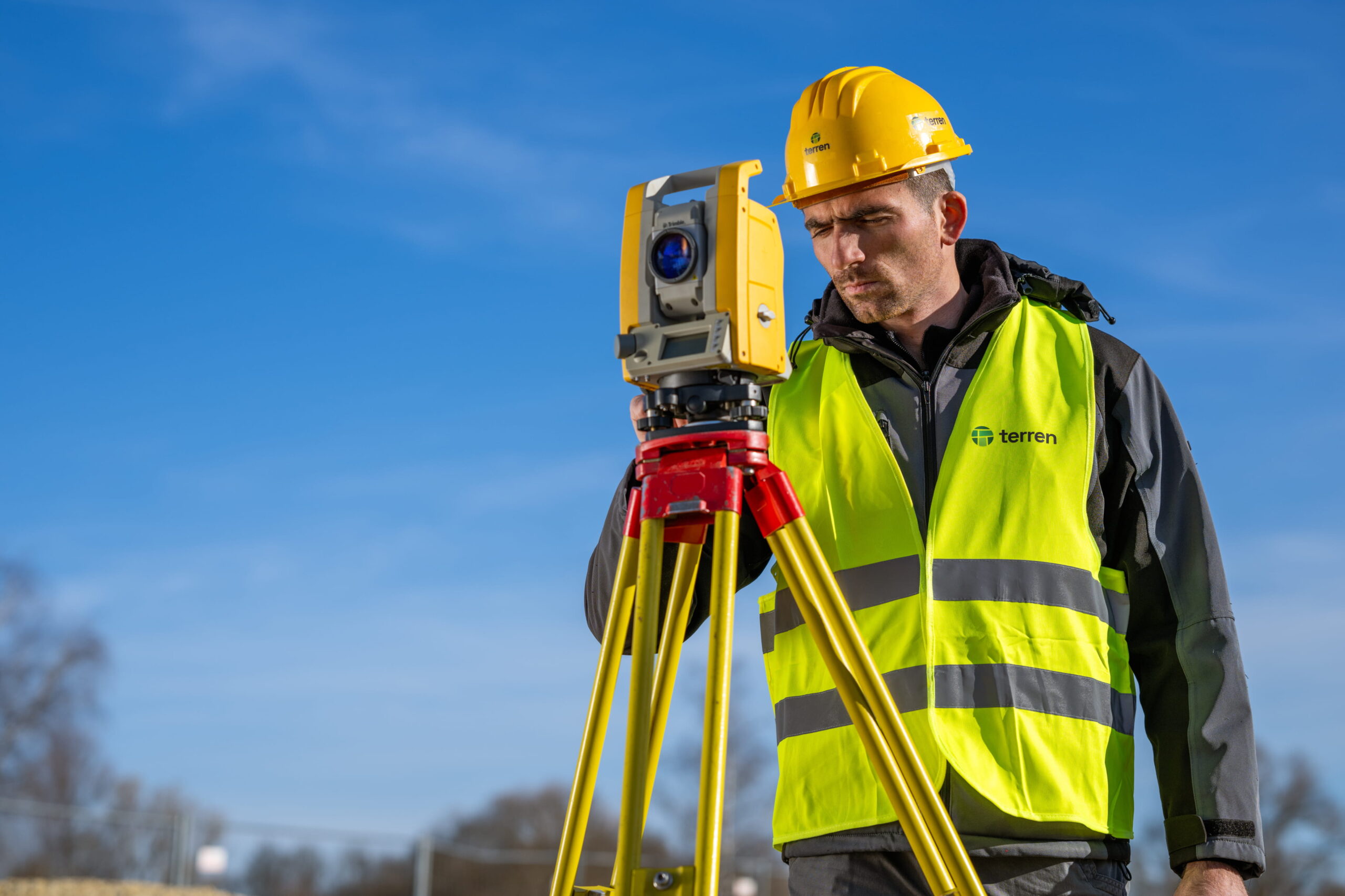
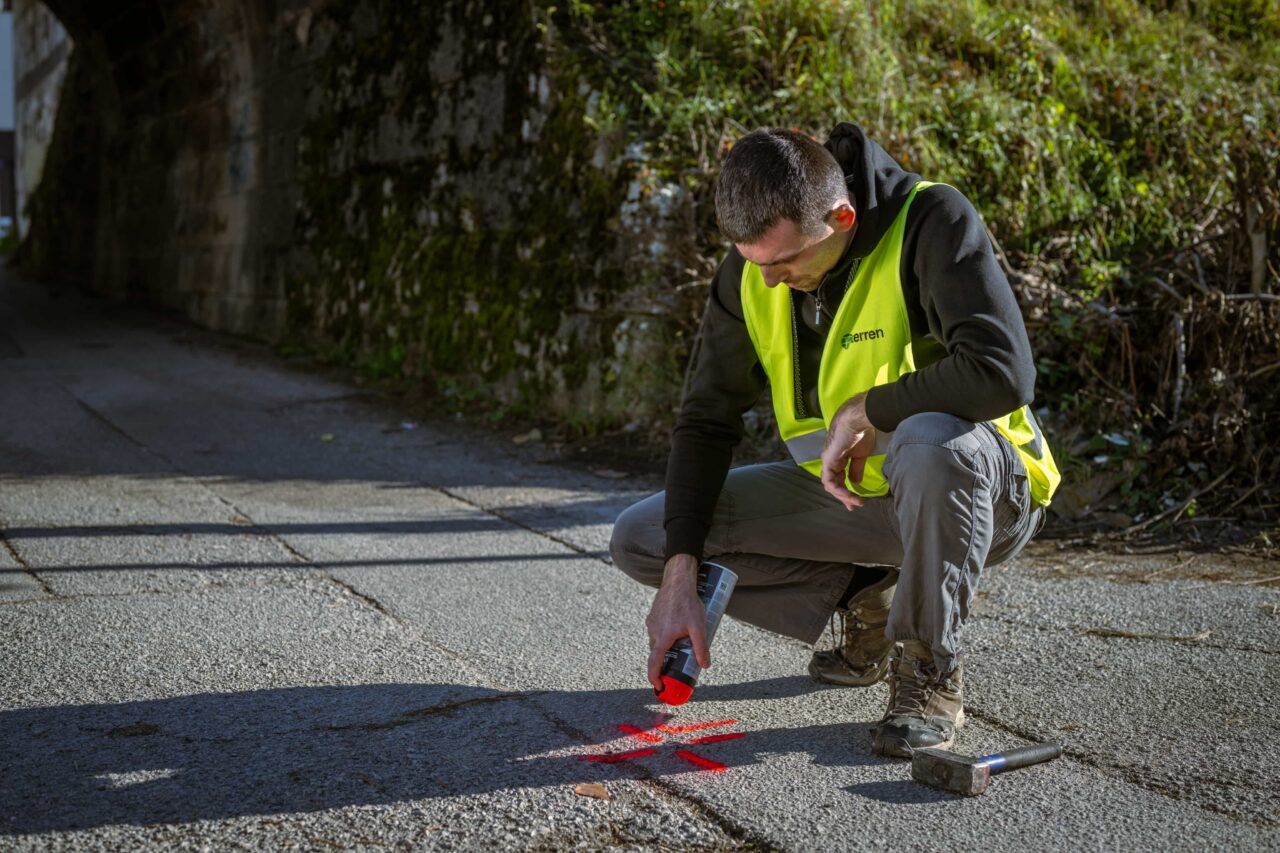
We measure thoroughly and accurately
Photogrammetry / drone photography
Drone surveying allows for the collection of large amounts of field data in a very short time. It is ideal for surveying large agricultural areas, roads, rivers and canals, as well as inaccessible areas or objects that cannot be surveyed using contact methods or would be extremely time-consuming and expensive to survey.
The captured photographs are transformed into a three-dimensional point cloud that can be used for various analyses, visualizations and projects, and other aerial photogrammetric survey products are also obtained from it – a 3D model, a digital terrain model and a digital orthophoto.
This surveying method makes it possible to monitor the construction phases and progress of construction projects, determine the condition of crops and plan sowing and irrigation, document the condition of various structures whose inspection is otherwise expensive, analyze and calculate the volume of excavation and embankment, create 3D models and digital terrain models, as well as digital orthophotos.
This surveying method makes it possible to monitor the construction phases and progress of construction projects, determine the condition of crops and plan sowing and irrigation, document the condition of various structures whose inspection is otherwise expensive, analyze and calculate the volume of excavation and embankment, create 3D models and digital terrain models, as well as digital orthophotos.
Examples of what it is used for:
monitoring of construction sites, monitoring of crops in agriculture, damage assessment, calculation of the volume of excavations and embankments, digital terrain models, etc.
Photogrammetry capabilities
01
Construction site monitoring
The photographs obtained during the survey can be used to monitor the construction phases of a building and the progress of construction projects. They provide insight into the situation on the ground and inform stakeholders about the progress of the project. The main advantage of drone photography is that there is no need to stop or slow down construction work on the site or close traffic routes, and the survey itself does not pose a danger to the surveyor.
02
Crop monitoring in agriculture
With a drone, it is possible to determine the condition of crops on a large area without entering the field, determine the area under each crop and estimate the yield accordingly. With the creation of a suitable orthophoto base, sowing and irrigation can be planned more efficiently.
03
Inspections of large and complex structures, damage assessment
Since direct contact is not required, drones have a wide range of applications for inspecting and documenting the condition of various structures that would otherwise be expensive, difficult, or potentially unsafe for humans to inspect. Objects that fall into this group include power lines, mobile communication towers, bridges, railway tracks, solar panels, windmills, monuments, ruins, roofs of tall buildings, and the like. In the event of natural disasters, it is safer to send a drone on a reconnaissance mission first than to risk the safety of the survey team.
04
Analyses – calculation of excavation and embankment volumes
Calculation of construction excavations or embankments using classical methods is often a rough estimate because classical methods collect a small number of terrain points and interpolate the volume. The photogrammetrically obtained point cloud contains data on the terrain height at a resolution of 3×3 cm, which allows for quick and precise volume calculation. It is an ideal method for monitoring quarry exploitation and inventory of bulk material in gravel pits, cement plants, etc.
05
3D models
3D models serve as a realistic visual representation of the terrain configuration and for the visualization of residential or industrial buildings, bridges, dams and roads. In addition to displaying volumes, 3D models from photographs take on color and texture identical to that in nature.
06
Digital terrain model
A digital terrain model is a model of the Earth’s surface in which positionally and height-defined terrain points are connected into a network. Vegetation, buildings and artificial objects can be filtered from the model. It serves as a basis for analysis and the creation of digital orthophoto maps.
07
Digital orthophoto
A digital orthophoto is a planimetrically correct aerial photograph that fully corresponds to a map of the same scale. Given that it is produced in a standard raster format (JPEG, GeoTIFF), it is ideal as a two-dimensional basis for planning and designing with much more spatial data than a classic geodetic situational plan.
Testimonials
Customer satisfaction is our top priority.

“Terren stands out for its unparalleled expertise and excellence. From the first meeting to the final delivery, the team demonstrated a high level of professionalism. Detailed reports and clear communication throughout the process facilitated understanding and decision-making. The project was completed on time and within the agreed budget.”
Lawyer and mediator Ruđer Anić, partner at the law firm Anić and partners

“As an architectural firm, we have been working with Lemax/Terren for many years regarding geodetic services and have only had positive experiences. Very accommodating and cooperative, fast and efficient.”
Certified Architectural Engineer Ivan Kapov, Director of the architectural bureau Kapov doo

"We decided to cooperate with the Terren surveying office because of their exceptional professionalism and ease of communication, and their quick and concrete response has been proven through years of cooperation on numerous projects."
Krešimir Vučko, director of Duotempus d.o.o., private investor
“The entire team deserves every compliment for the work done related to the cadastral plots and the floor plans that I needed after my parents died. Everything was in complete disarray, but they managed to resolve all the problems and help with the legal aspects.”
Željka Čorhodžić
“My many years of experience working with Terren have been very positive. Very professional approach. They guided me throughout the entire process and communicated regularly until the work was completed. I recommend Terren to anyone who wants precise and reliable results.”
Višnjica Malović
“Two years ago we bought a family house in Slunj with land. We needed surveying services, and on the recommendation of the old owners we came to Terreno. We are more than satisfied with their work. Fast, high-quality and very friendly service.”
Predrag Ugarković

"We regularly cooperate with the Terren surveying team and we are very satisfied! Everything is always done professionally, precisely and in a very short time. High level of professionalism and a warm recommendation to anyone who needs reliable services."
Jelena Kravoščanec Todorović, direktorica Opereta nekretnine

"Working with Terren was an excellent experience. Their expertise, precision, and speed in solving all geodetic tasks far exceeded my expectations. As an investor, it was important to me to have a reliable partner who understands all the steps in the process."
Marija Penić-Ivanko, direktorica tvrtke "Mare", privatna investitorica iz Krašića
Based on focused and dedicated work within set deadlines.

FAQ
What is photogrammetry?
What is drone photography used for in geodesy?
– creation of high-resolution orthophoto maps,
– 3D modeling of terrain and objects,
– creation of digital relief models (DTM) and surface (DSM),
– volumetric calculations (e.g. excavations, embankments),
– monitoring the progress of the construction site,
– making recordings for spatial plans and cadastral needs,
– monitoring changes in the field over time.
What are the advantages of drone photography compared to traditional surveying?
High resolution – Getting detailed and precise shots.
Access to difficult terrain – Safely capture inaccessible, steep or dangerous locations.
Cost savings – Lower costs compared to traditional methods for the same areas.
Multiple uses of data – The same data can be used for different analyzes and needs.
How accurate is drone photography?
– flight altitude,
– characteristics of the drone and camera,
– the method of flight planning,
…