We measure thoroughly and accurately
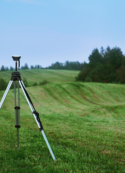
Surveying of lines and infrastructure
Timely, high-quality and detailed geodetic surveying of utilities and infrastructure is crucial for the accurate planning, maintenance and construction of utility and building systems.
It helps identify the actual location of utilities such as water, sewer, gas, electrical, and telecommunications cables. Accurate data prevents damage during construction work and reduces the risk of costly repairs or downtime.
- Infrastructure cadastre
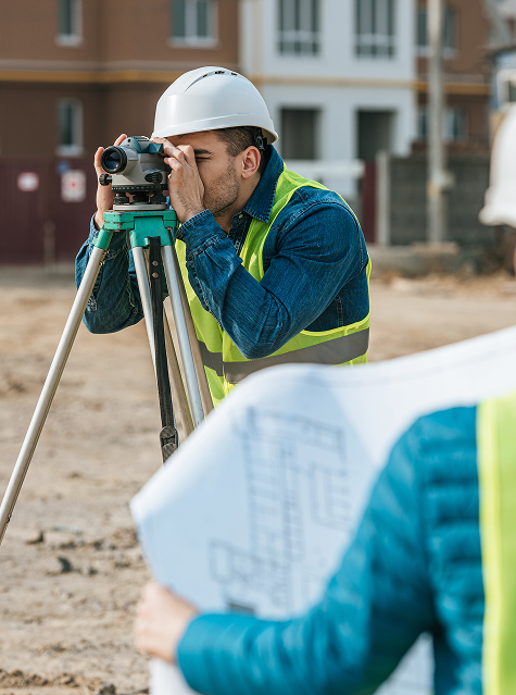
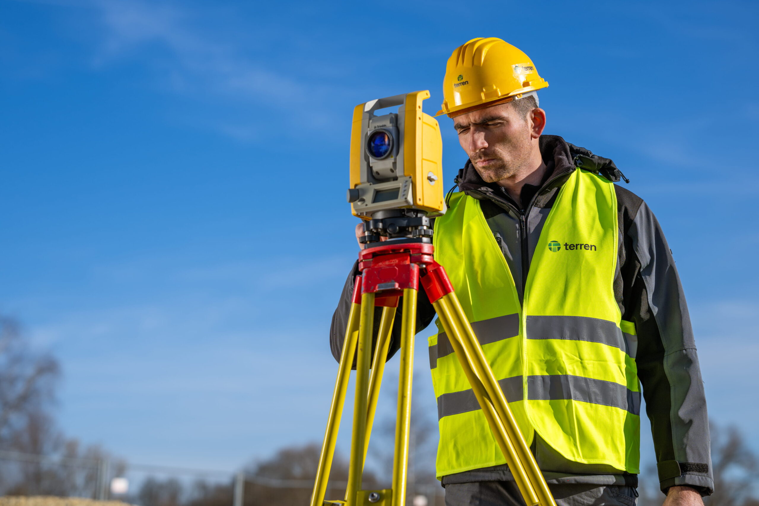
Geodetic experts are responsible for recording infrastructure, i.e. lines, with the aim of establishing a single infrastructure cadastre. The infrastructure cadastre contains data on lines and associated facilities of electricity, electronic communications, heating, gas, oil, water and drainage infrastructure.
The infrastructure can be above ground or underground. Measurement of underground infrastructure must be carried out in an open trench. To perform a geodetic survey, geodetic experts have the right to enter the area of cadastral plots, to the extent necessary, remove trees, bushes and other vegetation that interfere with the work of conducting a geodetic survey, and place appropriate survey marks.
Belonging water facilities are shafts, culverts, shafts, chambers, etc. and it is important to record other details and objects that the line passes by.
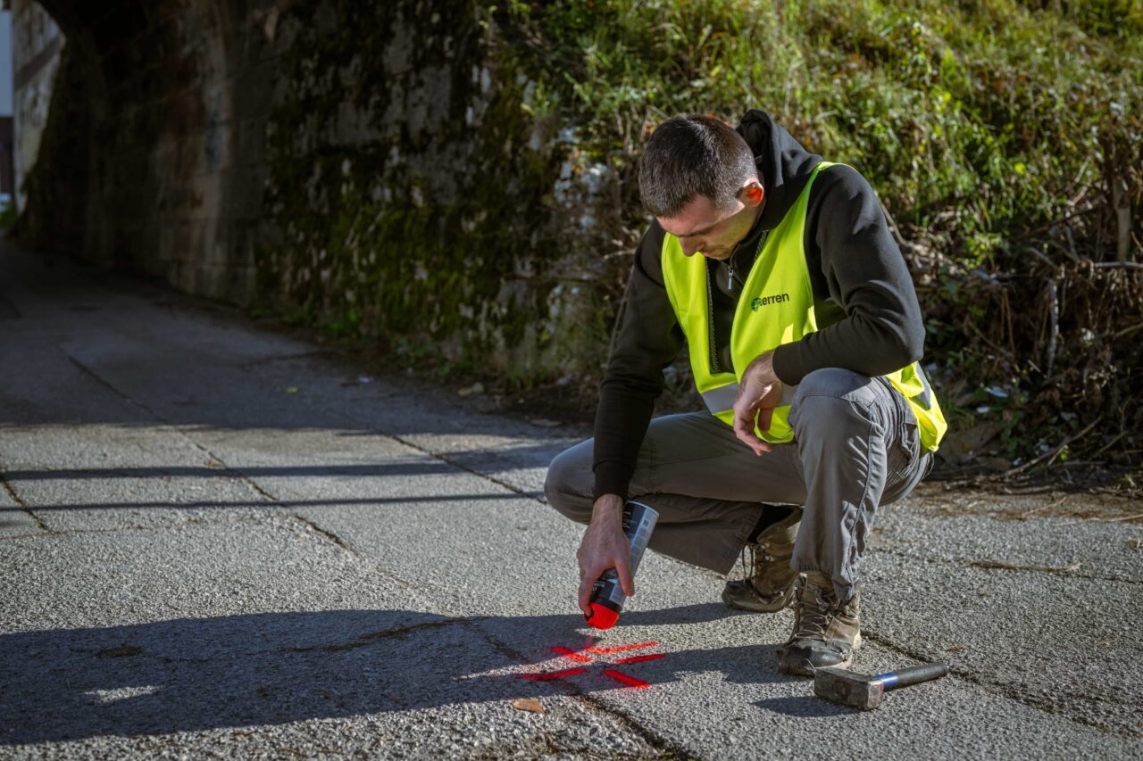
For the measurement of existing, previously unrecorded lines, the associated visible external signs of the lines are used, and the detection is performed by a tracer, excavation or a tracer and excavation of the lines. The geodetic survey of the lines constructed for the needs of a house connection is carried out in such a way that the lines are measured to the connection point on the wall of the building, or to the first shaft.
- Geodetic study of infrastructure and lines
The geodetic study of the infrastructure is created as a technical basis for managing the cadastre of the infrastructure. They are made in case of recording of newly built and/or unrecorded infrastructure, change of data on the location of the existing infrastructure and data on the basic technical characteristics of the infrastructure, abandonment of the existing recorded infrastructure, removal of the existing already recorded infrastructure or change of descriptive data on the existing recorded infrastructure that is kept in the infrastructure cadastre.
The study is submitted for confirmation to the cadastre, and then to the line managers.
Key benefits of geodetic surveying of lines
01
Damage prevention
Accurately determining the location of installations reduces the risk of their accidental damage during excavation and construction work.
02
Saving time and money
A clear geodetic basis enables faster and safer implementation of the project, without unnecessary delays or changes.
03
Mandatory documentation
The recording and the associated study are often a legal requirement for registration in the infrastructure cadastre, obtaining a building permit or a technical inspection.
04
Design and implementation support
Designers receive reliable data for creating project documentation, and contractors receive precise information for carrying out work.
05
Maintenance and management
Accurate data enables future system maintenance and rapid intervention in the event of failures.
06
Transparency and security
Investors and clients have control over the actual condition of the terrain and can make informed decisions.
Testimonials
Customer satisfaction is our top priority.

“Terren stands out for its unparalleled expertise and excellence. From the first meeting to the final delivery, the team demonstrated a high level of professionalism. Detailed reports and clear communication throughout the process facilitated understanding and decision-making. The project was completed on time and within the agreed budget.”
Lawyer and mediator Ruđer Anić, partner at the law firm Anić and partners

“As an architectural firm, we have been working with Lemax/Terren for many years regarding geodetic services and have only had positive experiences. Very accommodating and cooperative, fast and efficient.”
Certified Architectural Engineer Ivan Kapov, Director of the architectural bureau Kapov doo

"We decided to cooperate with the Terren surveying office because of their exceptional professionalism and ease of communication, and their quick and concrete response has been proven through years of cooperation on numerous projects."
Krešimir Vučko, director of Duotempus d.o.o., private investor
“The entire team deserves every compliment for the work done related to the cadastral plots and the floor plans that I needed after my parents died. Everything was in complete disarray, but they managed to resolve all the problems and help with the legal aspects.”
Željka Čorhodžić
“My many years of experience working with Terren have been very positive. Very professional approach. They guided me throughout the entire process and communicated regularly until the work was completed. I recommend Terren to anyone who wants precise and reliable results.”
Višnjica Malović
“Two years ago we bought a family house in Slunj with land. We needed surveying services, and on the recommendation of the old owners we came to Terreno. We are more than satisfied with their work. Fast, high-quality and very friendly service.”
Predrag Ugarković

"We regularly cooperate with the Terren surveying team and we are very satisfied! Everything is always done professionally, precisely and in a very short time. High level of professionalism and a warm recommendation to anyone who needs reliable services."
Jelena Kravoščanec Todorović, direktorica Opereta nekretnine

"Working with Terren was an excellent experience. Their expertise, precision, and speed in solving all geodetic tasks far exceeded my expectations. As an investor, it was important to me to have a reliable partner who understands all the steps in the process."
Marija Penić-Ivanko, direktorica tvrtke "Mare", privatna investitorica iz Krašića
Based on focused and dedicated work within set deadlines.