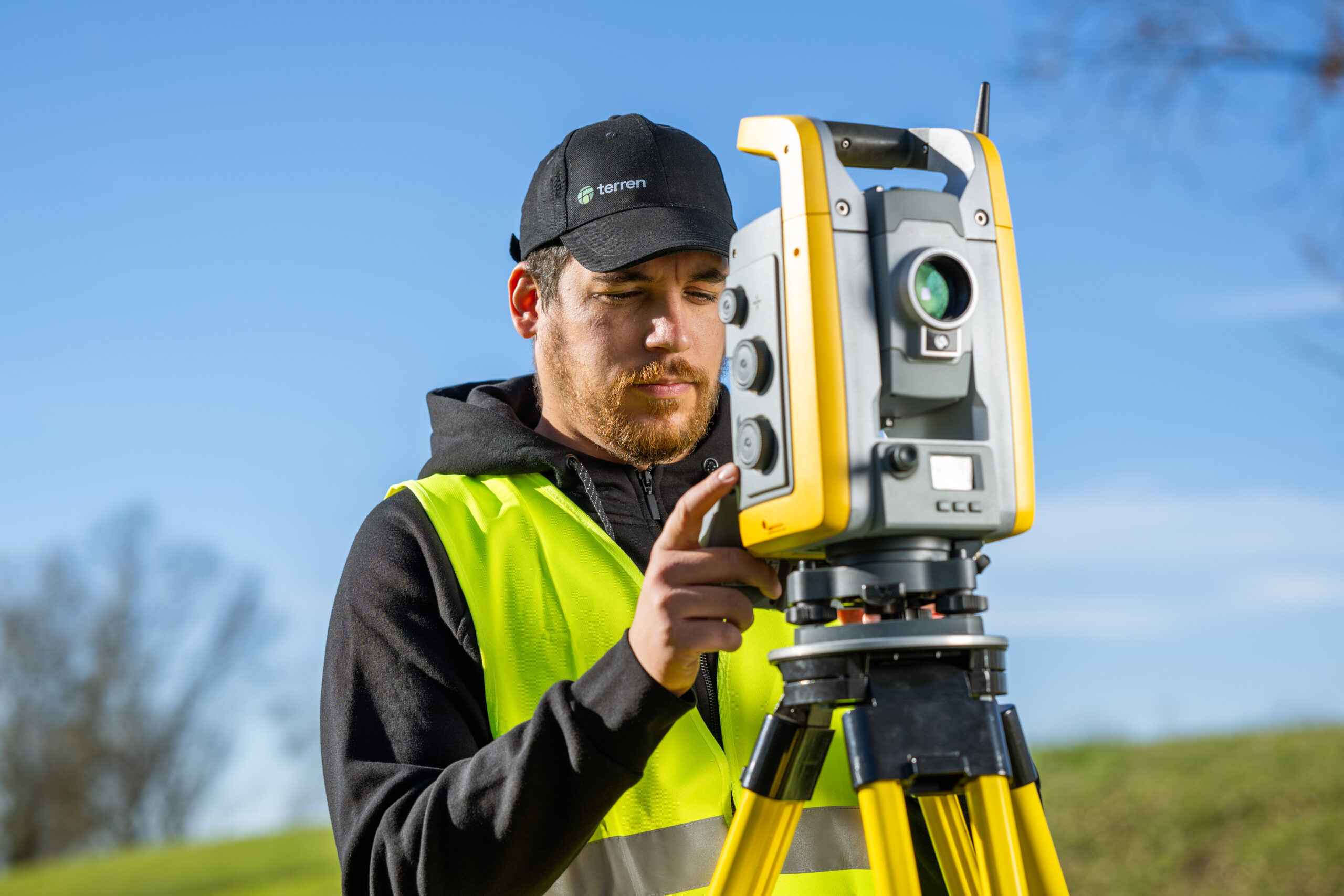
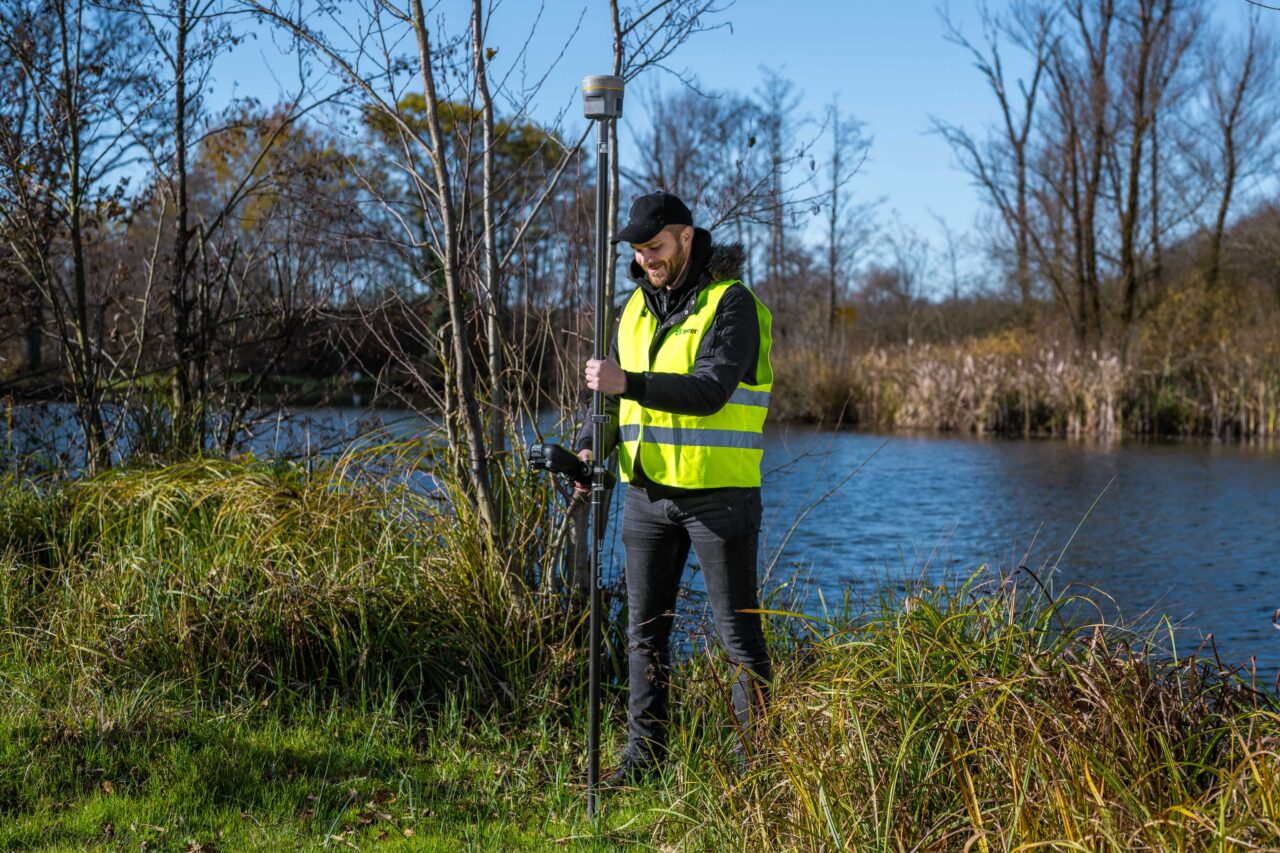
We measure thoroughly and accurately
Cadastre-land registry integration
A common problem in practice is the mismatch between the cadastral and land registry status.
In the cadastre, i.e. the title deed, the area of the plot is written, while in the land registry (land registry) the area is completely different, which creates confusion about what we are actually using and what the area of the plot is that we are using.
In the field, the particle most often coincides with the cadastral state, i.e. In most cases, you actually use the square footage written in the title deed on the field. However, the cadastre does not indicate ownership, but only possession!
For example, according to the cadastre (ownership certificate), you use 800 m 2 and this is probably the situation on the ground. However, the title deed says that you only have 500 m 2 . This means that you are the owner of 500 m 2 , not the entire 800 m 2 . If you plan to sell the particle, build on it and the like, you will not be able to dispose of the particle, but you will need to match it first.
In the past, people avoided paying taxes and bought and sold land without making any changes to the land registry. Sometimes there were purchase and sale contracts, but they were never executed, in other cases they were lost or not notarized.
In situations where you have a purchase and sale contract and are not registered as the owner, but want to sell the property, you are in an unenviable situation because a potential buyer cannot be sure that they will be able to register in the title deed.
Testimonials
Customer satisfaction is our top priority.

“Terren stands out for its unparalleled expertise and excellence. From the first meeting to the final delivery, the team demonstrated a high level of professionalism. Detailed reports and clear communication throughout the process facilitated understanding and decision-making. The project was completed on time and within the agreed budget.”
Lawyer and mediator Ruđer Anić, partner at the law firm Anić and partners

“As an architectural firm, we have been working with Lemax/Terren for many years regarding geodetic services and have only had positive experiences. Very accommodating and cooperative, fast and efficient.”
Certified Architectural Engineer Ivan Kapov, Director of the architectural bureau Kapov doo

"We decided to cooperate with the Terren surveying office because of their exceptional professionalism and ease of communication, and their quick and concrete response has been proven through years of cooperation on numerous projects."
Krešimir Vučko, director of Duotempus d.o.o., private investor
“The entire team deserves every compliment for the work done related to the cadastral plots and the floor plans that I needed after my parents died. Everything was in complete disarray, but they managed to resolve all the problems and help with the legal aspects.”
Željka Čorhodžić
“My many years of experience working with Terren have been very positive. Very professional approach. They guided me throughout the entire process and communicated regularly until the work was completed. I recommend Terren to anyone who wants precise and reliable results.”
Višnjica Malović
“Two years ago we bought a family house in Slunj with land. We needed surveying services, and on the recommendation of the old owners we came to Terreno. We are more than satisfied with their work. Fast, high-quality and very friendly service.”
Predrag Ugarković

"We regularly cooperate with the Terren surveying team and we are very satisfied! Everything is always done professionally, precisely and in a very short time. High level of professionalism and a warm recommendation to anyone who needs reliable services."
Jelena Kravoščanec Todorović, direktorica Opereta nekretnine

"Working with Terren was an excellent experience. Their expertise, precision, and speed in solving all geodetic tasks far exceeded my expectations. As an investor, it was important to me to have a reliable partner who understands all the steps in the process."
Marija Penić-Ivanko, direktorica tvrtke "Mare", privatna investitorica iz Krašića
We measure your goods for your good.
Our strength is a team of experienced and certified geodetic engineers, with more than 15 years of experience working on a wide variety of projects throughout Croatia.

FAQ
How much does a compliance study cost?
The price is defined depending on the purpose, location, size of the plot, compliance with the cadastre and land registry, etc.
When planning to request the services of a surveyor, the basic information you need to prepare is the cadastral plot number and the name of the cadastral municipality or the address of the building (if there is a building on the plot). Based on the information about the plot and the purpose of the study, the surveyor will be able to tell you what purpose the study you need is for and what the price of the service will be.
What documents are needed to create a geodetic study?
Is my facility legal?
If a property is registered in the cadastre and land registry, this does not mean that it is legal.